
Organizers
Conference Chairs
Conference Chairs lead the overall planning and management of FOSS4G Hiroshima 2026.

Steering Committee
The Steering Committee consists of committee leaders who coordinate each working group of the FOSS4G Hiroshima 2026 organizing team.
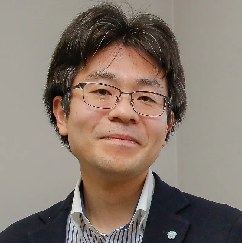
Toshikazu SETO
瀬戸 寿一
Komazawa University / TUDelft
Profile
Toshi is a social geographer and geospatial information scientist at Komazawa University, Japan and visiting researcher at the 3D geoinformation research group at TU Delft. He is a member of OSGeo.JP, OpenStreetMap Foundation Japan, and an OSGeo foundation charter member. In recent years, he has been engaged in research on participatory GIS and civic-tech open data.
Yuichiro Nishimura
西村 雄一郎
Nara Women's University / OSGeo.JP
Profile
Yuichiro Nishimura is a professor at Nara Women's University. His original research focuses on time-geographical studies; recently he has been deeply involved in studies about GIS and society in Japan. He has been active in FOSS4G activities in Japan and has participated in several global conferences since 2011. He was elected as an OSGeo Charter Member in 2015, and has organised several global SotM events in Japan, IGU Kyoto Regional Conference 2013, and ICC Tokyo 2019.
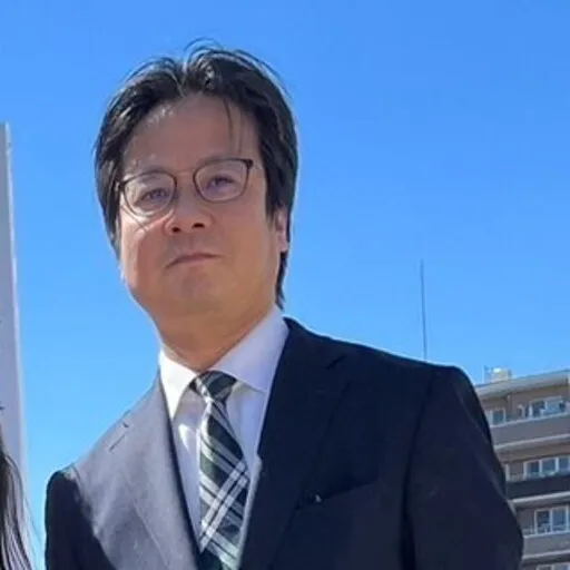
Keiichi Katsube
勝部 圭一
OSGeo Japan Chapter / AERO TOYOTA CORPORATION
Profile
Chief Secretary of OSGeo.JP. Administrator of the QGIS User Group Japan (Facebook Group).
Taro Matsuzawa
松澤 太郎
Geolonia / OSGeo.JP / OpenStreetMap Foundation Japan
Profile
GIS engineer from Geolonia, contributor of UNOpenGIS/7.
Jin Igarashi
五十嵐 仁
FRACTA Inc.
Profile
Jin Igarashi is a senior software developer working on geospatial for many years. Since he was involved in water projects as a GIS developer in Eastern Africa in 2014, he has developed and maintained several open source software tools (called GIS for water) supporting water utilities in Africa. He is passionate about driving innovation in the WASH field due to his background in information technologies and WASH experience.

Hinako Iseki
井関 日向子
Eukarya / OSGeo.JP
Profile
Software engineer at Eukarya Inc. Board member of OSGeo Japan.
Haruki Inoue
井上 晴稀
Bitkey Inc. / OSGeo.JP
Profile
I'm involved in developing iOS apps for B2B office solutions. In my spare time and as a side business, I work on development projects using GIS. I'm also active as a board member of OSGeo Japan.
Eita Horishita
堀下 栄太
VALUENEX Japan / Code for Kashiwa
Profile
Specialist in technical research for Science, Technology and Innovation (STI) strategy, with applied expertise in GIS and urban environmental management.
Zenichi TAKEUCHI
竹内善一
Laboratory of Geographic Information Science, Department of Agricultural Science, Graduate School of Sustainability Science, Tottori University
Profile
Zenichi Takeuchi is a Master’s student at Tottori University, specializing in Geographic Information Science (GIS). His research involves the classification of abandoned farmland and evaluating its potential for forest conversion. His work utilizes spatial analysis to support sustainable land management in rural areas.
Local Organizing Committee (LOC) Members
The Local Organizing Committee (LOC) members are responsible for the on-the-ground organization of FOSS4G Hiroshima 2026, including venue arrangements, local logistics, and community engagement.
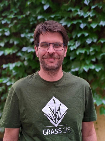
Alen Mangafić
アレン・マンガフィッチ
Geodetic Institute of Slovenia
Profile
I work at the Geodetic Institute of Slovenia in Ljubljana as Head of Digital Transformation and contribute to projects as a Senior Geospatial Data Scientist and Remote Sensing Specialist. I hold a PhD in Environmental Protection focused on the hyperspectral remote sensing of heavy metals. My work centers around the analysis of multispectral, hyperspectral, and SAR imagery, as well as LiDAR point clouds, though I enjoy tackling data problems of all kinds. I rely heavily on Python, GRASS, GDAL, PDAL, QGIS, and PostgreSQL for data torturing and distribution. I love Linux. I currently serve as the secretary of OSGeo Slovenia.
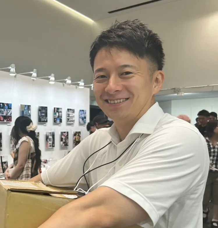
Yoshinori Yamazaki
山崎宜範
Eukarya Inc.
Profile
A versatile practitioner with a unique career trajectory spanning the public sector, mega-ventures, and hands-on local business management.My experience is rooted in navigating complex environments—from the strategic frameworks of the Ministry of Internal Affairs (MIC) to the fast-paced operations of Recruit and Rakuten. Currently, I balance my role at Eukarya Inc. with the management of several local businesses as a director and advisor.Rather than a narrow specialist, I thrive as a cross-functional leader who integrates technology, administrative insight, and real-world business operations to solve problems from the ground up.
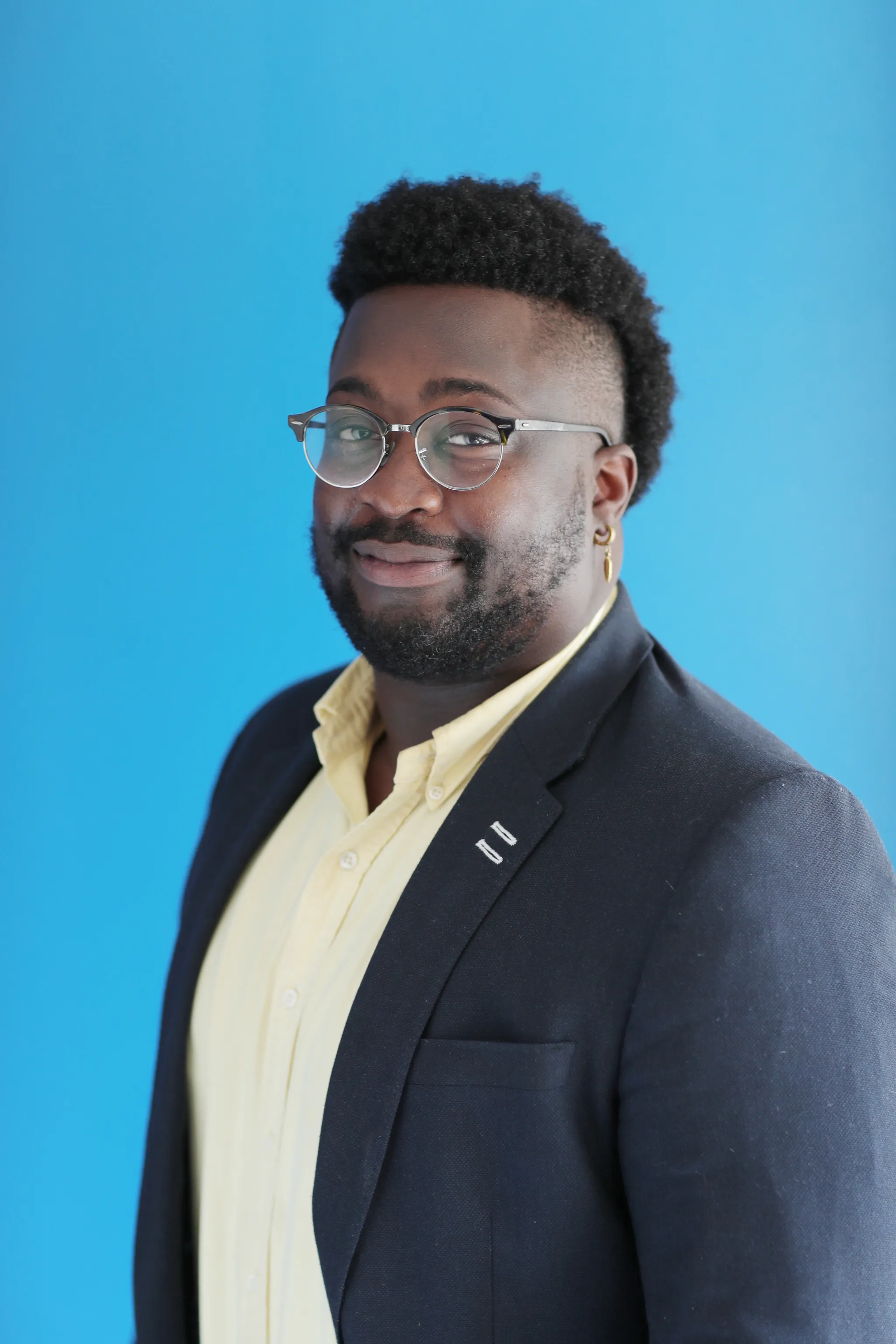
A.J. Koikoi
コイコイA.J.
Eukarya Inc.
Profile
A.J. Koikoi is Senior Programme Director, Global Education & Strategic Initiatives at Eukarya, where he works at the intersection of open-source geospatial technology, education, and international collaboration. Previously at the United Nations Institute for Training and Research (UNITAR), he supported and led global education and capacity-building programmes focused on peace, sustainable development, and emerging technologies. His current work centers on making geospatial and digital tools more accessible through education and participatory approaches.
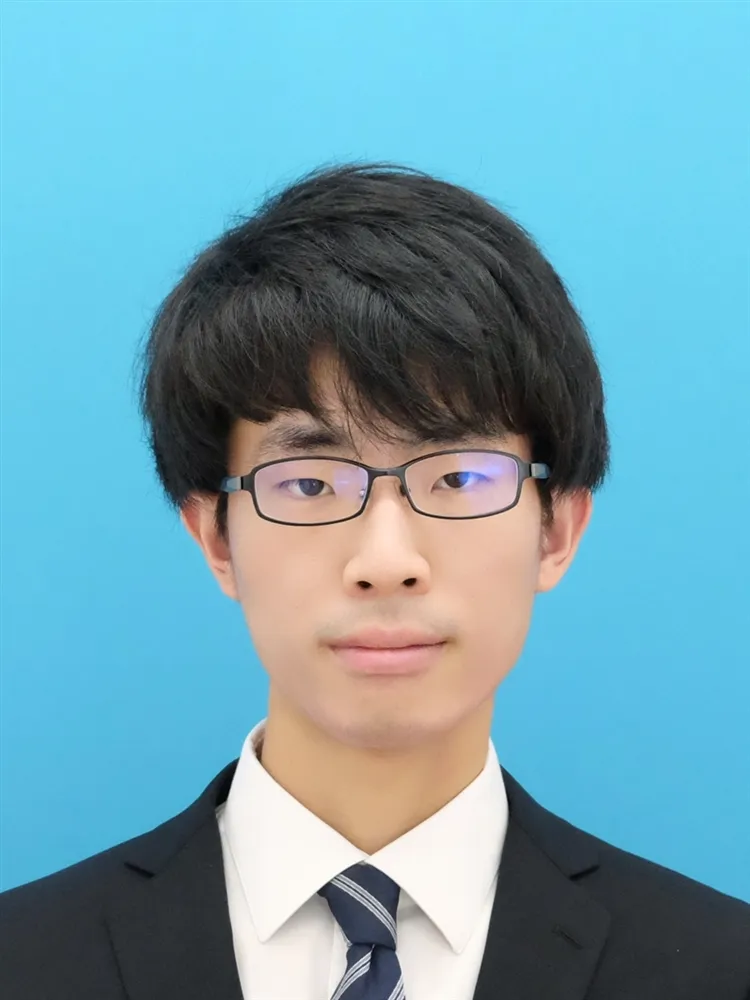
Reiichiro Shimizu
清水怜一郎
Kindai University
Profile
I'm a university student. My research is about buses, and I'm also interested in trains.
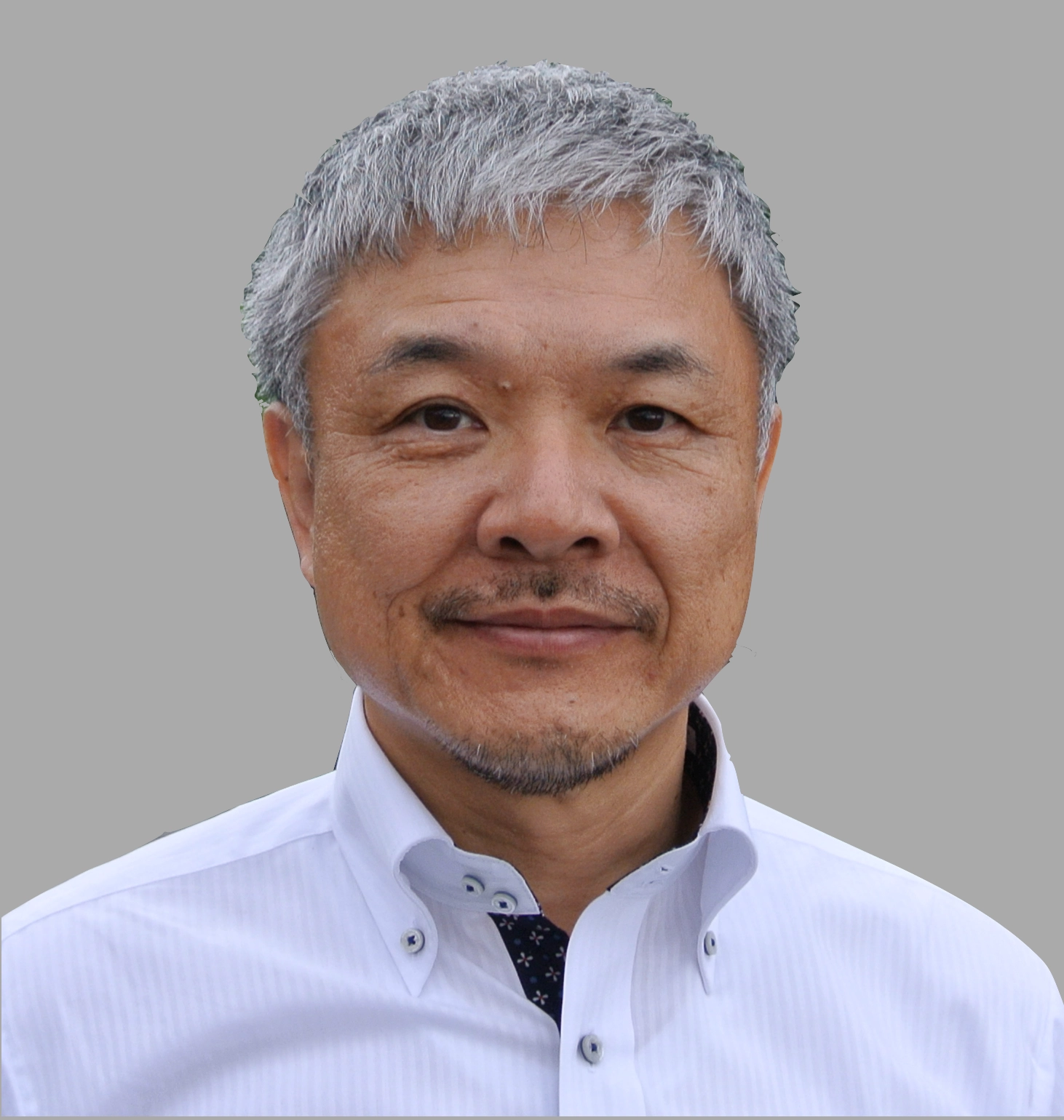
Hirofumi Hayashi
林 博文
Applied Technology Co.,LTD./OSGeo Foundation/OSGeo.JP/FOSS4G-Asia/AGILE
Profile
Hirofumi Hayashi is an award-winning GIS Developer with a 35-year career dedicated to advancing Open Source GIS (FOSS4G). As a key architect behind OSGeo4W and a founder of the OSGeo Japan Chapter, he has significantly lowered barriers to GIS adoption globally. He continues to shape the industry through his work with the ZOO-Project and FOSS4G ASIA, earning accolades such as the 2010 IPA Japan OSS Contributor Award and the 2024 Good Design Award.
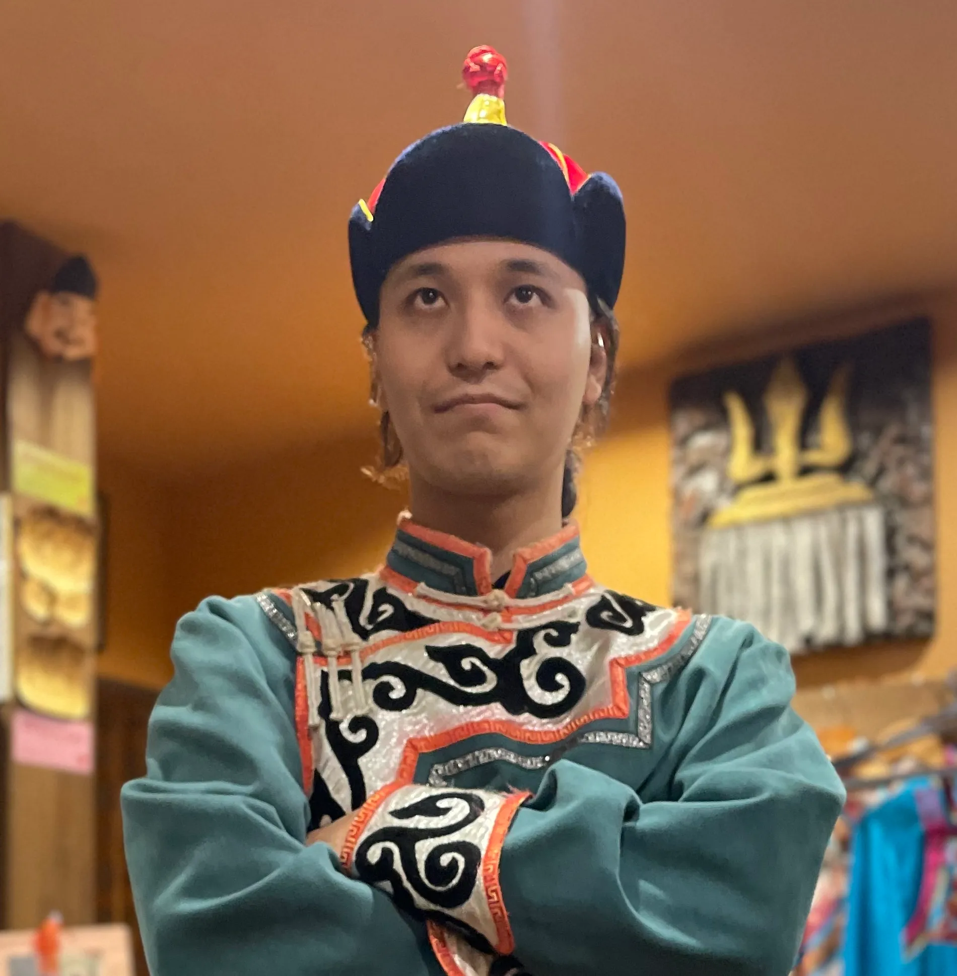
Satoshi (Alexandre) Tanaka
田中聡至
OSGeoJP
Profile
I enjoy GIS programming for ecology and environmental studies. I work as a freelancer in remote sensing analysis and surveying-related tasks. I see the future in the intersection of AR/VR/MR and FOSS4G.
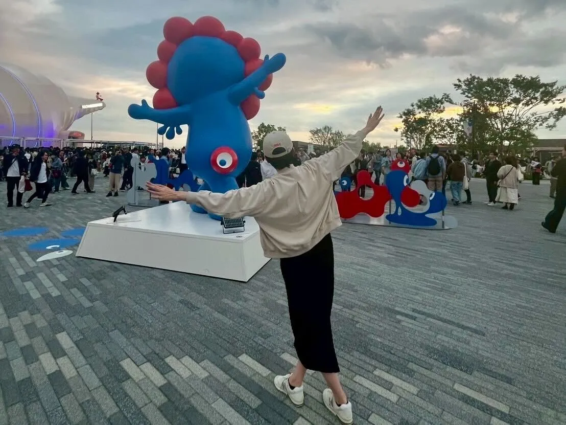
Juri Shimizu
清水珠里
LY Corporation
Profile
I have been involved with the OSGeo.JP since around 2018, contributing mainly to the organization and operation of community events and activities. Through this work, I have supported local OSGeo and FOSS4G-related initiatives, helping to strengthen connections within the open source geospatial community in Japan. In my previous role, I have also given several talks on topics such as vector tiles, sharing practical knowledge and experiences with the community.
Chie Ota
大田千絵
OSgeo.jp/国際航業株式会社
Profile
I joined this activity because of my passion for GIS and maps. Although I don't have much experience in programming or global events yet, I'm eager to contribute in any way I can. I look forward to working with you all!
Taisei Nakamura
中村太誠
CTI Engineering Co., Ltd
Profile
VR point cloud processing, Likes: Point Cloud, Real-Time CG, XR, CV, Electronic work

Kei Yamazaki
山﨑 渓
株式会社MIERUNE
Profile
GIS Trainee
Taichi Furuhashi
古橋 大地
Aoyama Gakuin University/CrisisMappers Japan/MAPconcierge Inc.
Profile
Taichi Furuhashi is passionate about mapping, connecting local communities with maps, and sharing knowledge to empower people. As you know, the Huge Earthquake and Tsunami destroyed a lot of cities and local communities in the East Japan area, 2011. He and local people are trying, how to make a more resilient society with Mapping, Panorama/VR, and Drone technology. Taichi is a professor at Aoyama Gakuin University and President of CrisisMappers Japan, NPO. Now he has started DRONEBIRD project with drones for Disaster Crisis Response, supported by WeRobotics/FlyingLabsNetwork. In addition, he has worked as advisory board chairman of Project PLATEAU as 3D Digital Twin.

Mitsunori UEDA
植田 允教
Osaka Metropolitan University/OSGeo.JP
Profile
PhD Student, Department of Geosciences, Graduate School of Science, Osaka Metropolitan University.
Narumasa Tsutsumida
堤田成政
Saitama University
Profile
His major field of research is geographic information science including geocomputation, remote sensing, spatial modeling, and Earth observation, and he has worked on various topics mainly related to land cover science.
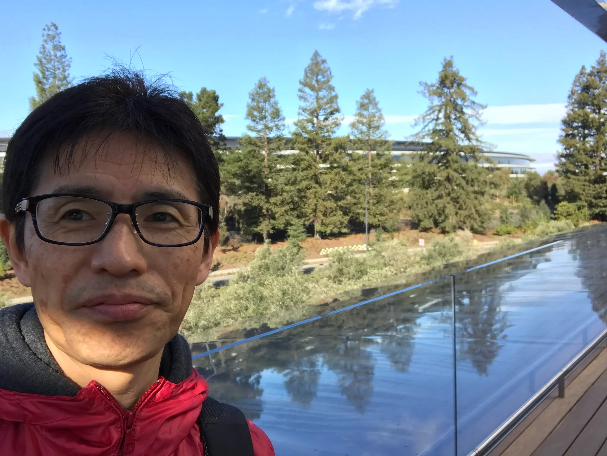
Toru Mori
森亮
MIERUNE. Inc. / CUNEMO.LLC
Profile
Founder of OSGeo.JP, Cartographer. ex Apple, ex HERE Technologies

Tomoaki Hoshino
星野 友昭
Asia Air Survey Co.,Ltd. / OSGeo.JP
Profile
Tomoaki has worked as a GIS engineer at an aerial surveying company for 10 years. His main job is developing WebGIS for government agencies. He has recently been active as a member of the OSGeo.JP steering committee.
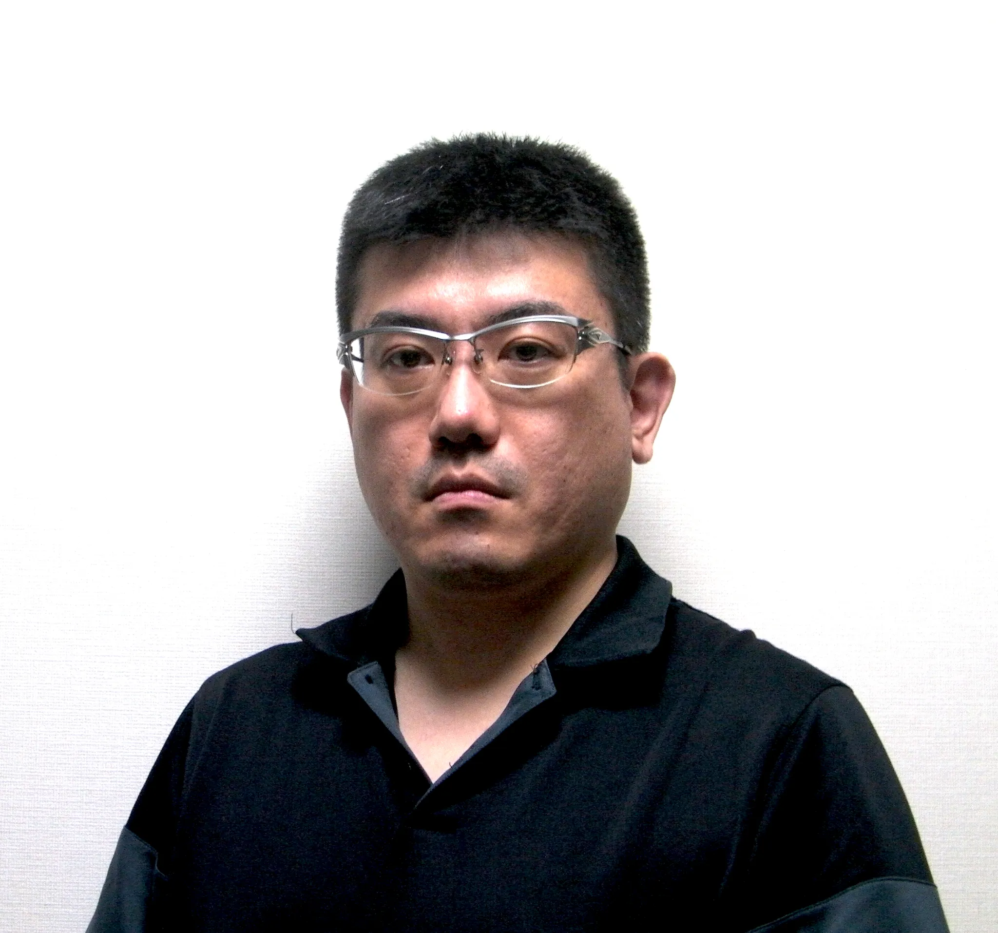
Takafumi NAKAYAMA
中山 貴史
CRUXSYSTEM INC.
Profile
I am a technical leader and software engineer specializing in GIS development. In GIS development, I work not only on Web GIS but also on desktop GIS, and I focus on developing systems that are easy for anyone to use, regardless of their level of expertise.
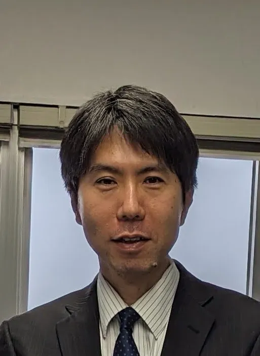
Takayuki Nuimura
縫村崇行
Senshu University
Profile
Research topic is Himalayan glacier using remote sensing and field survey
Naoya Nishibayashi
西林直哉
株式会社MIERUNE
Profile
よろしくお願いします

TERADA YOSHIKI
寺田恭貴
Aero toyota
Profile
a
AOKI Ryosuke
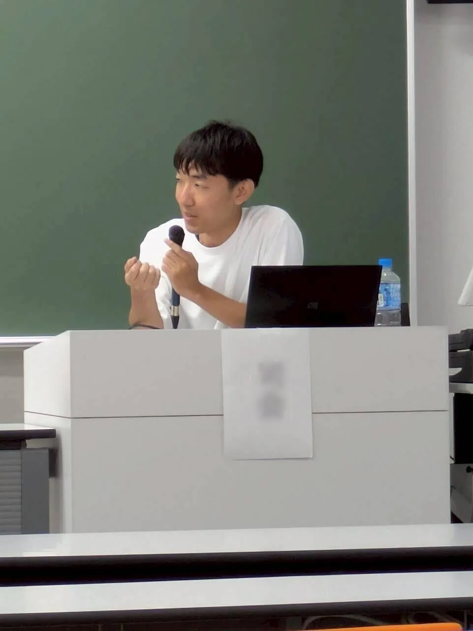
青木 亮祐
PASCO CORPORATION
Profile
I am an engineer specializing in GIS, remote sensing, and AI at a Japanese aerial surveying company. I combine satellite imagery, aerial photography, and machine learning to tackle real-world challenges through geospatial technology. Beyond my daily engineering duties, I serve as an advocate for the Ministry of Land, Infrastructure, Transport and Tourism’s 3D city model initiative, “Project PLATEAU,” since 2024. Through this role, I contribute to community activities aimed at promoting the development and adoption of 3D city models.
Takeuchi Mikiharu
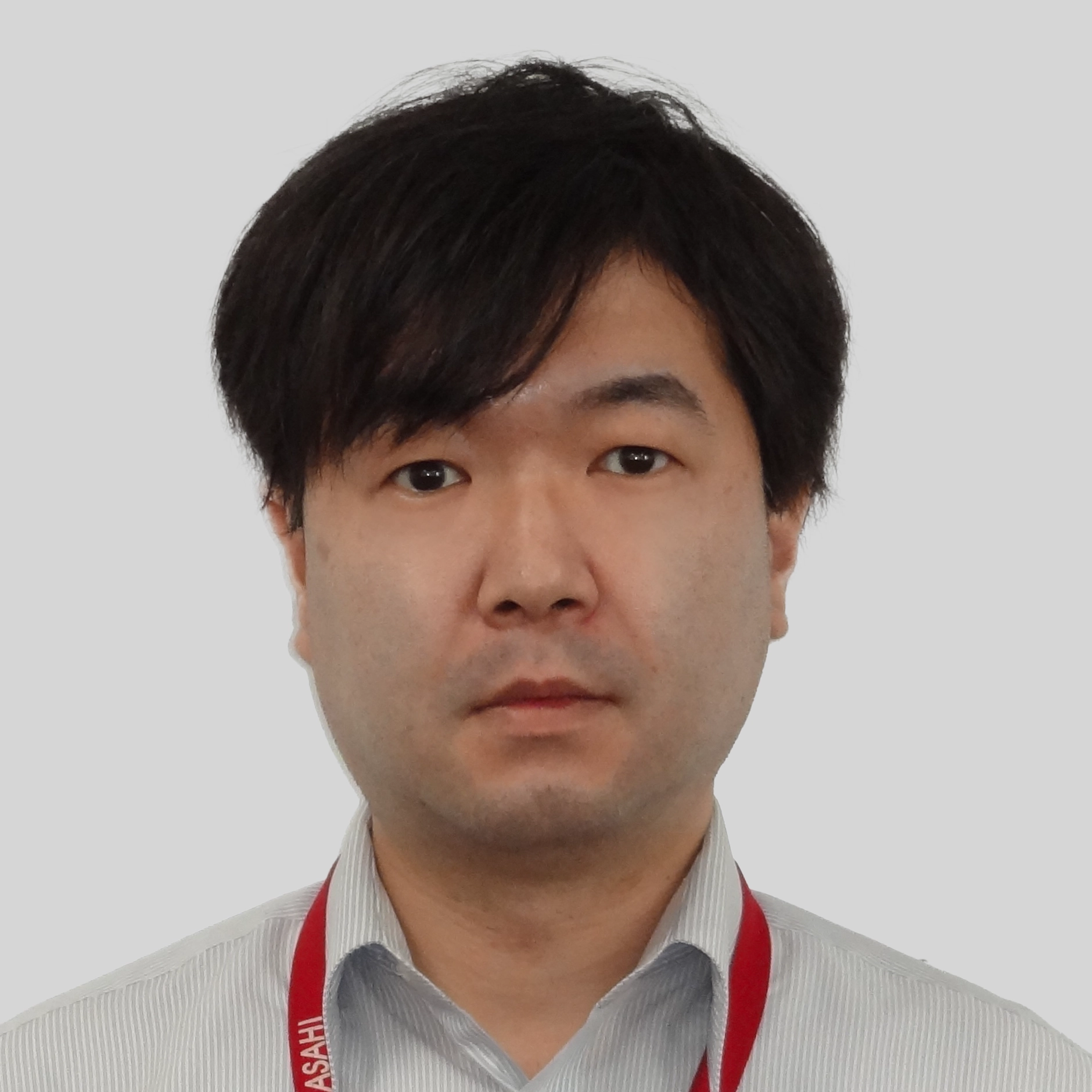
武内樹治
Nara National Research Institute for Cultural Properties/OSGeo.JP
Profile
I am an early-career researcher in the field of geographic information science. My research focuses in particular on the development of geospatial data for cultural heritage information and its application to cultural heritage preservation and historical research.
Satoshi KITASHIMA
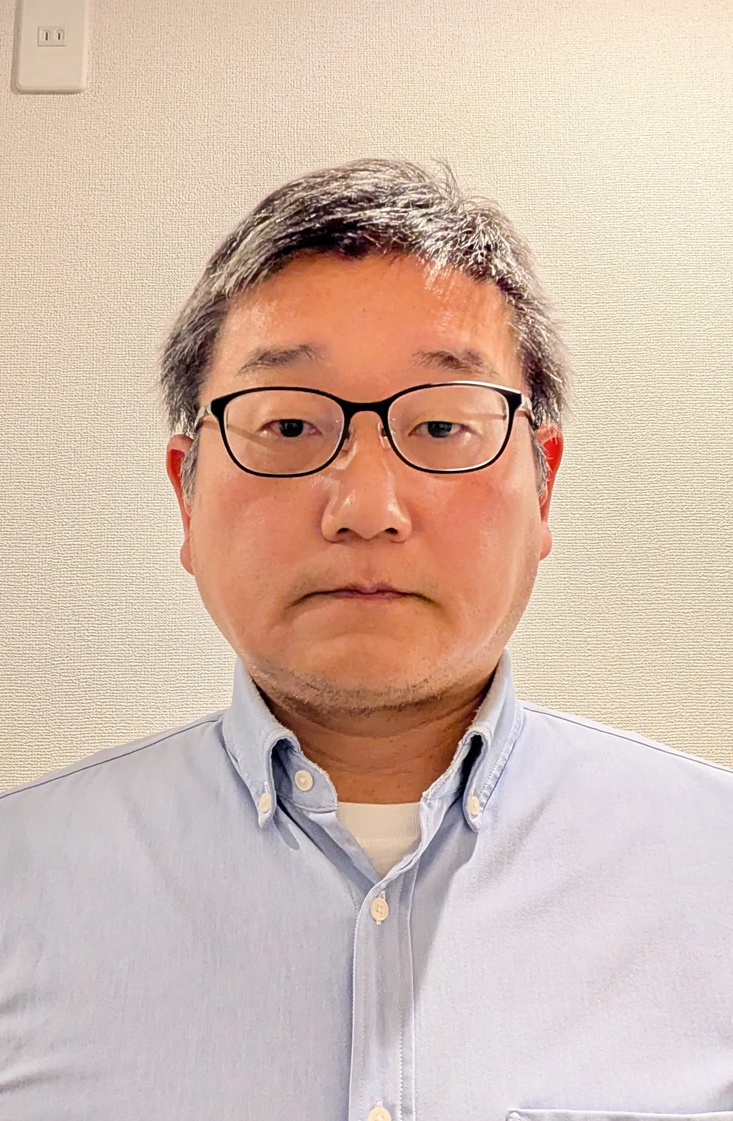
北島 理司
AEROTOYOTA Corporation / OSGeo.JP
Profile
Satoshi is a GIS engineer and project leader focused on building open-source spatial data platforms for Japanese municipalities and national organisations. His work spans the development of modern geospatial data infrastructures, including open data catalogues, web-based mapping systems, and real-time data integration frameworks. He leads end-to-end development-from requirements definition and system architecture to implementation and infrastructure operations—and contributes to Japan’s OSGeo community.
Kouichi Kita
喜多 耕一
Aero Toyota corp
Profile
Born and raised in Hokkaido, author of the QGIS guidebook 'Revised Edition: A Complete Guide to Using QGIS ver. 3 for Business Use' and administrator of the QGIS Beginners Question Group (https://share.google/gaQq7VPD4dfMSQUFL).
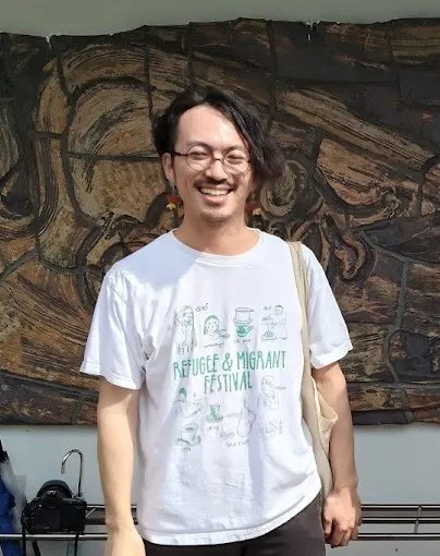
Toki Hirose
廣瀬時
TRAILBLAZER
Profile
Independent Researcher / Spatial Data Scientist. I analyze how urban space structures human behavior through the lens of information geometry. My current research tracks a change of pedestrian trajectories from street video at stations before and after the intervention(Individual protest demonstration), constructing statistical manifolds from movement distributions to measure how city shapes the people who move through it. My background spans magnetotelluric surveys of submarine volcanoes, 3D point cloud measurement for railway infrastructure, commercial site development analysis, and tourism analytics.
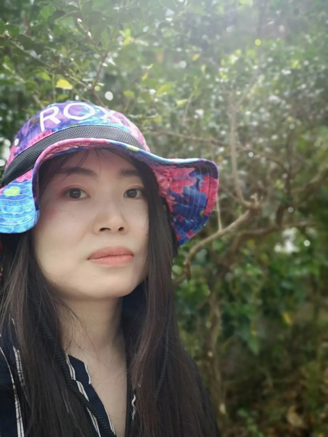
Ayaka Onohara
小野原彩香
Rikkyo University
Profile
Ayaka Onohara is a researcher working at the intersection of statistical science, cultural and linguistic evolution, and geospatial data analysis. Her recent work focuses on place–emotion datasets, GeoAI, and GAN-based modeling of spatial and cultural dynamics. She develops open and reproducible workflows using Python, QGIS, and cloud-native geospatial tools, and actively contributes to educational and community initiatives within the FOSS4G ecosystem.

Ryo Suzumoto
鈴本 遼
ArkEdge Space Inc.
Profile
Dr. Ryo Suzumoto is a Co-founder of ArkEdge Space Inc., focusing on geospatial information platforms leveraging satellite data, business and community development, and the computing infrastructure that supports satellite systems. He is also active in open-source and educational outreach, developing open-source small-satellite software — particularly as the principal contributor to "c2a-core", the satellite onboard software kernel - and publishing an open-source CanSat development kit for middle and high school students. https://meltingrabbit.com/profile/
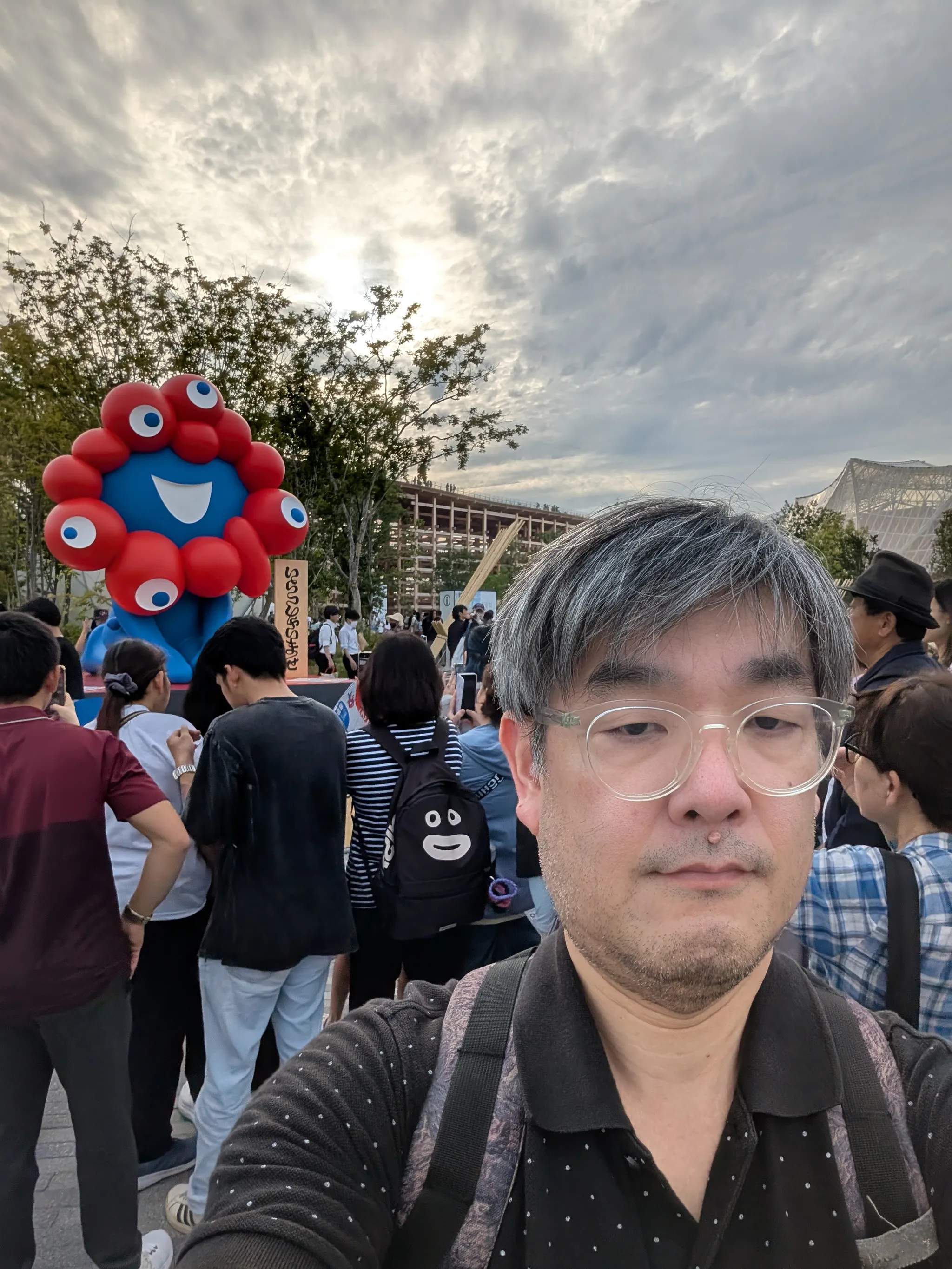
Masaki Murakami
村上正記
Wikimedians of Japan User Group
Profile
I am Wikimedian in Japan, and I have the Administrator role the Japanese Wikipedia.
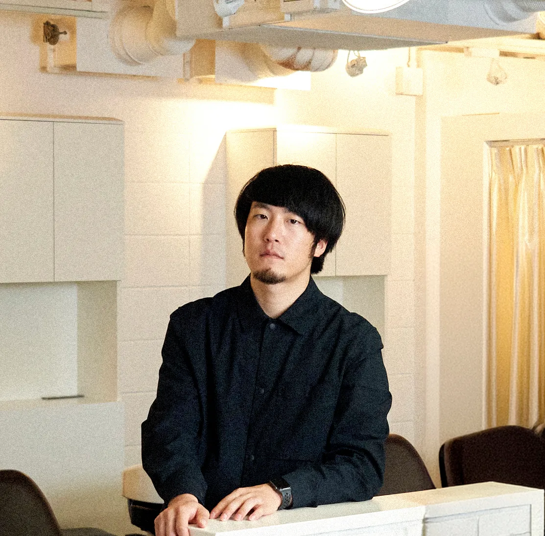
Akira Jodai
上代暁
Eukarya
Profile
Specializing in graphic design, I am a member of the PR Department at Eukarya, where I mainly focus on graphic and visual design for printed materials and branding, including logo design. I also occasionally engage in PR activities.
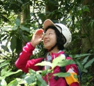
Naoka Ogaya
大萱直花
JAFTA
Profile
I am a forestry engineer, and I use QGIS for forest zoning and analysis.
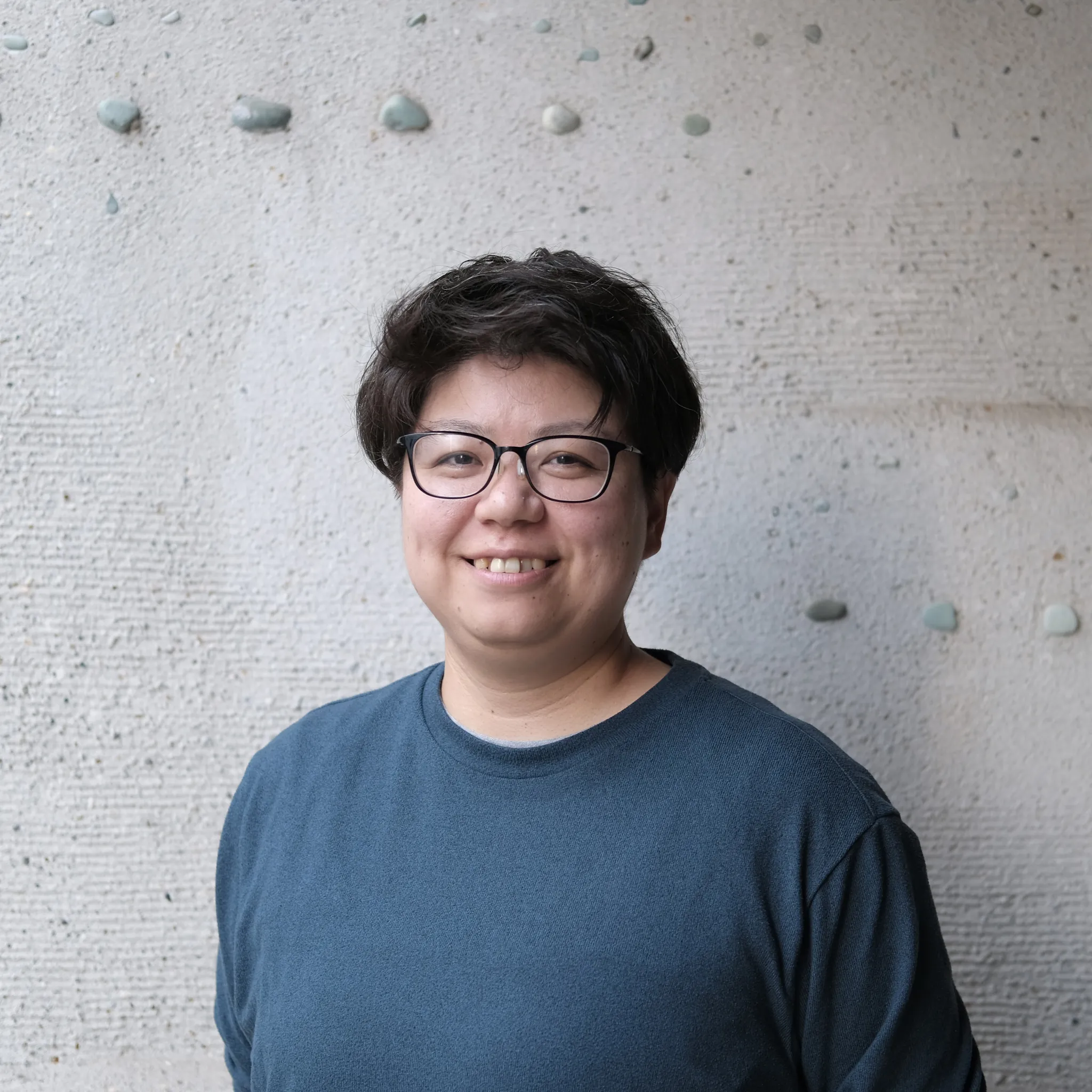
Mitsuha Miyake
三宅光葉
Deloitte Tohmatsu Sustainacraft Co., Ltd.
Profile
A geospatial engineer by day, but an outdoor explorer, creative coder and spice lover by weekend.
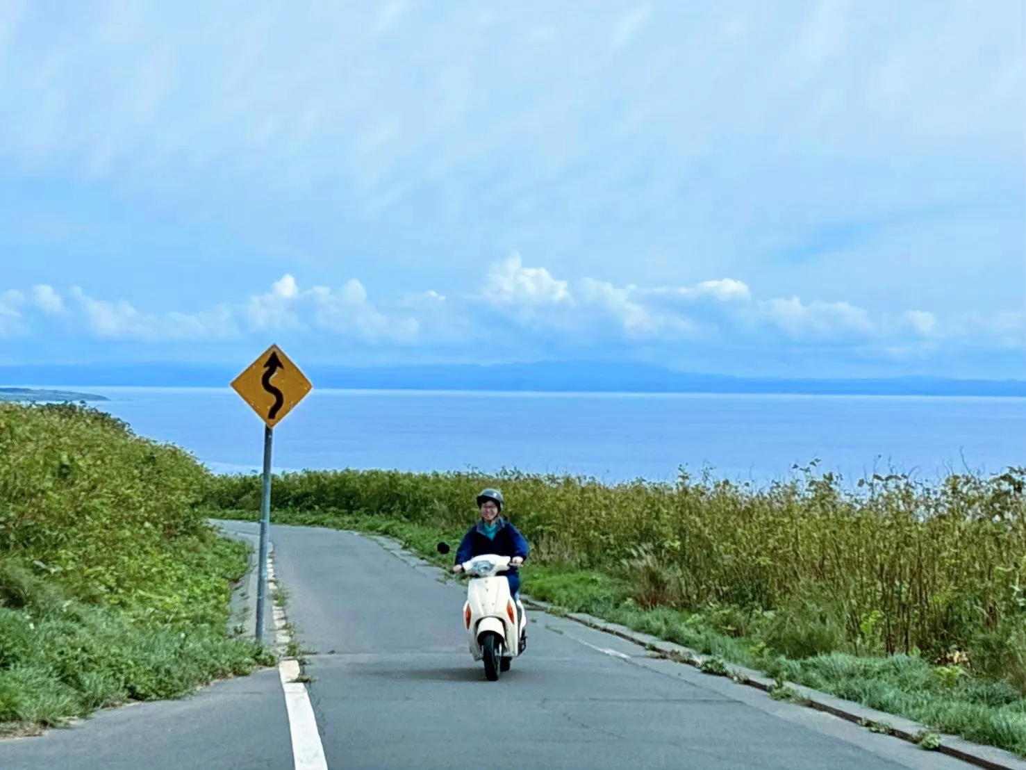
MIYAMOTO AYAKA
宮本 彩加
ASIA AIR SURVEY CO.,LTD.
Profile
I work for an aerial surveying company and have been involved in the design and development of Web GIS systems for government agencies for about three years.
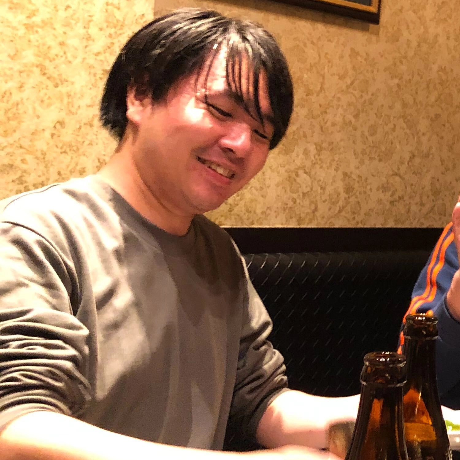
Shoya Suzuki
鈴木翔也
Geolonia
Profile
2021年から合同会社Georepublicに在籍、現在は株式会社Geoloniaのエンジニアとして活動している
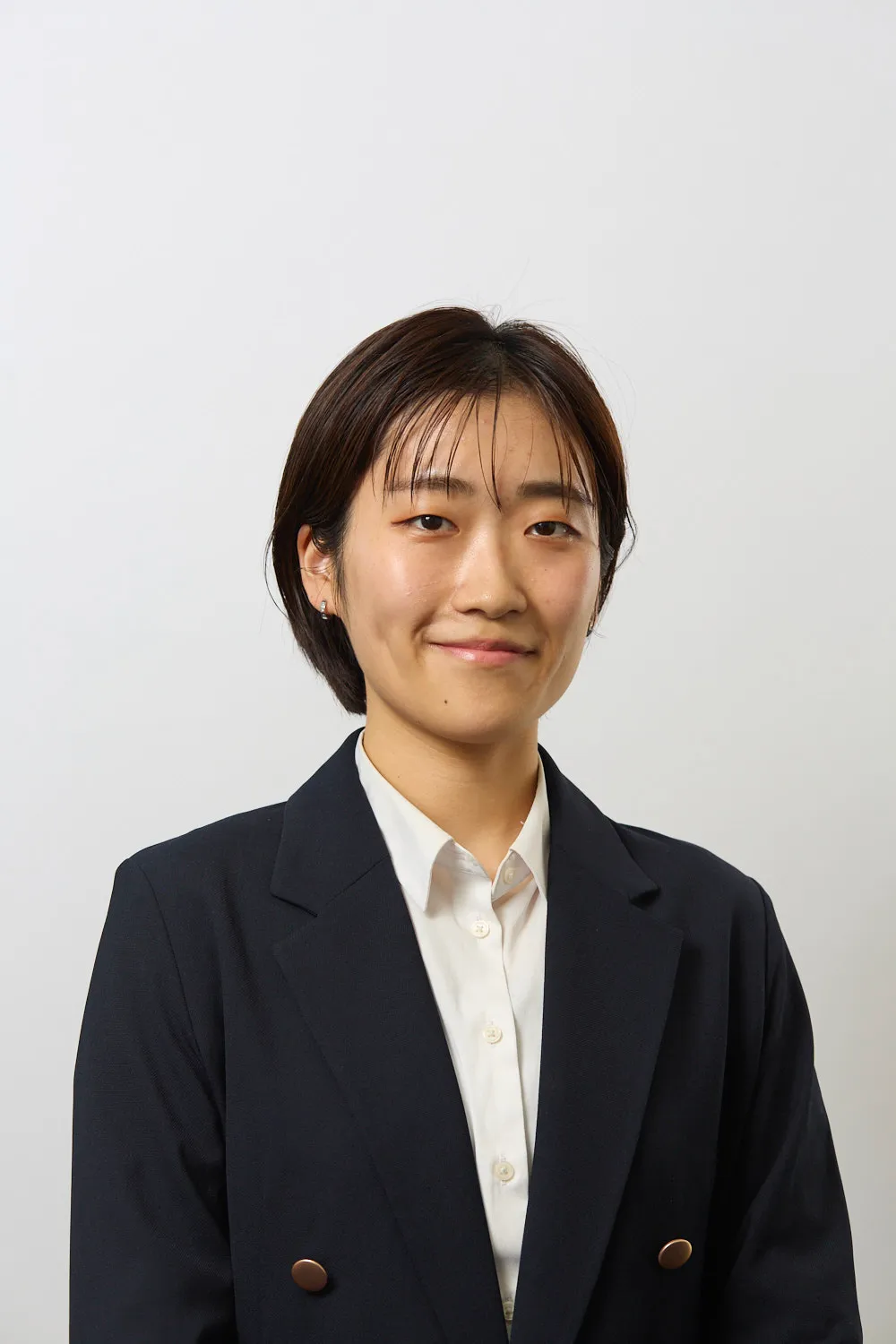
Yuka Yano
矢野由佳
PwCコンサルティング合同会社
Profile
国内大学にて農学(環境工学系)の学士課程を修了後、英国の大学院修士課程で地理空間データサイエンスおよび空間分析を専攻。現在、コンサルティング会社に勤務。
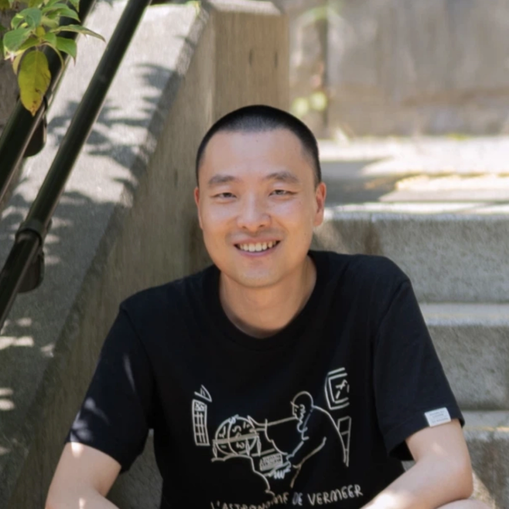
XU CONG
許聰
Eukarya Inc.
Profile
Product designer exploring the intersection of design, geospatial technology, and digital art. Based in Tokyo, crafting visual-first tools that help cities and communities see, understand, and shape their data. Interested in how open data and spatial computing can empower public dialogue and collective decision-making.
Kim Kwanhyun
キム グァンヒョン
Eukarya Inc.
Profile
GIS Engineer from Korea
Scientific Committee
The Scientific Committee oversees the technical content of the conference, including paper submissions, workshops, and presentations.
The FOSS4G 2026 Academic Track Scientific Committee Co-chairs
| Name | Affiliation |
|---|---|
| Toshikazu SETO | Komazawa University, Japan / Delft University of Technology, The Netherlands |
| Nobusuke Iwasaki | Tottori University, Japan |
| Mitsunori Ueda | Osaka Metropolitan University, Japan |
Scientific Committee Members
| Name | Affiliation |
|---|---|
| Aguilar Bolivar Rosa | University of Twente, The Netherlands |
| Alen Mangafić | Geodetic Institute of Slovenia, Slovenia |
| Atsuki SHIBATA | Nara University, Japan |
| Clara García-Sánchez | Delft University of Technology, The Netherlands |
| Clara Tattoni | Università degli Studi dell'Insubria, Italy |
| Cláudia M. Viana | University of Lisbon, Portugal |
| Daisuke Yoshida | Osaka Metropolitan University, Japan |
| Emory Beck | MapHustle, New Zealand |
| Hidenori Fujimura | Geospatial Information Authority of Japan, Japan |
| Hirofumi Hayashi | Applied Technology Co., Ltd., Japan |
| Hiromi Atarashi | Osaka Metropolitan University, Japan |
| Jin Son | Karrot, South Korea |
| Junji Yamakawa | Okayama University, Japan |
| Keita Kobayashi | KotobaMedia, Japan |
| Kenya Tamura | Eukarya Inc., Japan |
| Luca Delucchi | Fondazione Edmund Mach, Italy |
| Manikandan Nagarathinam | University of Madras, India |
| Marco Ciolli | University of Trento, Italy |
| Marco Minghini | European Commission, Joint Research Centre (JRC), Italy |
| Maria Antonia Brovelli | Politecnico di Milano, Italy |
| Martin Tomko | The University of Melbourne, Australia |
| Masahiro Mizuguchi | Asia Air Survey Co., Ltd., Japan |
| Massimiliano Cannata | Institute of Earth sciences, SUPSI-DACD, Switzerland |
| Mikiharu Takeuchi | Nara National Research Institute for Cultural Properties, Japan |
| Narumasa Tsutsumida | Fujitsu Research, Fujitsu Limited, Japan |
| Philipp Kleer | Brazilian Network Information Center, Brazil |
| Seong-Yun Hong | Kyung Hee University, South Korea |
| Shingo Yamashita | Biodiversity Center of the Ministry of the Environment, Japan |
| Shota Furuya | Institute for Sustainable Energy Policies, Japan |
| Simon Nitz | Whanganui District Council, New Zealand |
| Sunni K.P. Kushwaha | The Swiss Federal Institute for Forest Snow and Landscape Research WSL, Switzerland |
| Taichi Furuhashi | Aoyama Gakuin University, Japan |
| Takashi Nojima | Freelance Geospatial Engineer & Farmer, Japan |
| Victor N. Sunday | University of Port Harcourt, Nigeria |
| Yann H. Chemin | ORUS, France |
| Yasuto Furukawa | MIERUNE Inc., Japan |
| Yuichiro Nishimura | Nara Women's University, Japan |
| Yuta Sato | University of Liverpool, United Kingdom |